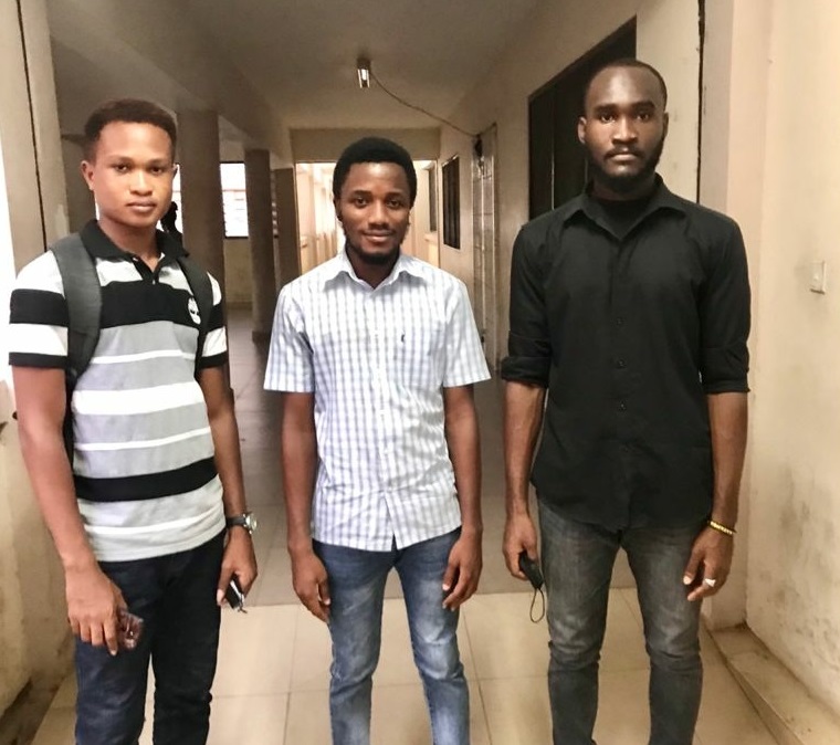
 Project Topic: Geographic Mapping of Electoral Areas In Ghana’s Fourth Republic - The Case Study of Greater Accra Region.
Team: Marvin Ayeh, Alexander Alimo, Prince Tettey
Abstract: Africa, as a continent, experiences violence during its election years. This violence maybe as a result of the low number of electoral facilities to service the high number of eligible voters. Election centers are often characterized by long queues with the election process getting late into the night. This research seeks to identify areas of high population so as to concentrate electoral facilities in these areas. The study identifies the relationship between population densities and polling stations. Population density data, polling station and Greater Accra districts data was used in the analysis. Coordinates for the polling stations were obtained from Google Maps and used together with the Greater Accra district shapefile to create constituency boundaries. The data was then analyzed to identify the trends and dependency level of polling stations on population. The study showed that there is a direct relationship between population and the total number of polling stations as an increase in population led to a relative increase in polling stations in 2008 and 2016 which had a population average of 3,728,783 and 4,916,031 and average polling station of 91.1 and 140.1 respectively. To have a smooth and peaceful voting process, population of an electoral area should have a major influence in the citing and allocation of the number of polling stations.
 Project Topic: Characterization and Mapping of Urban Morphology: A Case Study of Northern Greater Accra.
Team: Philemon Kwaku Nrkumah, Winnifred Nana Efuah Commey, Geraudia Ahovey
Abstract: The urban structure of most cities has deteriorated over time as a result of inadequate urban planning in these places. Poor planning has been exacerbated by the surge in population, which has increased the need for land for social, economic, and cultural objectives. These factors have an impact on the urban morphology and urban forms of cities. Hence, the need to examine the urban morphology in these areas and analyze the changes that have occurred through time. The study, therefore, seeks to examine the urban morphology of Northern Greater Accra, while characterizing and mapping the various morphological types. This study examined the various types of urban morphology and how this influences accessibility in the study area. In this context, accessibility refers to how easily people can reach the commodities and services they require to meet their basic needs. In addition, this study broadly focuses on accessibility to economic, social, and cultural services. Analysis of population demographics, examination of modes of transportation, and other methodologies was used to draw the connections between urban morphology and accessibility. The findings of this study can be used in city planning to promote accessibility.
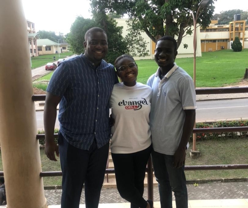 Project Topic: Geographic Mapping of Electoral Areas In Ghana’s Fourth Republic - The Case of Central Region.
Team: Moses Addai, Stephany Kutin Serwaa, Nana Yaw Adom Ofori-Atta
Abstract: Electoral area mapping is essential in elections. Countries like the USA and UK employ election geodatabase by using Geographic Inforamtion System (GIS) to analyze and take decisions on electoral issues. Many African countries like Ghana are facing the problem of lack of availability of geodatabase on election which makes the political parties, election organizers and the general public unaware of issues concerning elections in Central region. This study addressed the problem of unavailability of election data on polling center basis by gathering and collating election data in Central region of Ghana. We assessed historical data on elections in Ghana's central region, investigated changes in electoral boundaries and constituencies, and compared district borders to constituency boundaries. To test the hypothesis, data for 2008, 2012 and 2016 election were analyzed. The data were analyzed using Microsoft Excel, QGIS and the R Statistical Software. The study's findings indicated that there were fluctuations in total vote cast in the various election years. Also, it was revealed that there were changes in the electoral boundaries due to increase in population growth. The study concludes that there has been an overall fluctuation in voter turnout in the study region. In addition, the polling stations in the study area were not equitably distributed and their locations are difficult to be verified which has the potential to underserve some populations. The study recommends that the Electoral Commission of Ghana should add more polling stations and also get the location of the polling station close to the electorates since some individuals were unable to vote because polling stations were located far away from them and the tension and long queue at the various polling stations during election. The voter population continues to grow, necessitating the addition of more polling locations in order to relieve strain during elections.
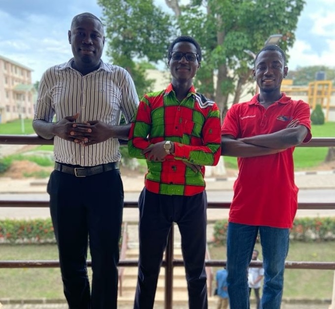 Project Topic: Geographic Mapping of Electoral Areas in the Northern, Northeast, And Savannah Regions of Ghana.
Team: Noah N-Yajasan Binche, Abdul-Rahman Bomb, Isaac Somuah Appah
Abstract: In advanced countries, election geodatabase is used to analyze and take decisions on electoral issues such as the trends in the election results, increase in voter population, and changes in electoral boundaries. Ghana today faces the problem of this unavailability of the geodatabase on the election in the country which makes the public unaware of issues concerning elections in their respective areas. This study seeks to analyze the trends, patterns, and changes in boundary demarcation of the study area. Trend studies, the retrospective-prospective study design was used in the study. Northern, Northeast, and Savanna regions were selected for the study. The analysis in the study was based on 2008, 2012, and 2016 election years in the area. The study included both secondary and primary data. The data were analyzed using Microsoft Excel, QGIS, and SPSS software. The study revealed that between the 2008 and 2012 elections, there was a 5% increase in the number of polling stations and 19.4% between 2012 and 2016. Also, the highest voter population in the constituencies was revealed in the results to be 85% of the overall population whiles the lowest voter population was also 80.5% of the overall population in some constituencies. According to the findings of the study, the voter population is increasing, but some people remain hesitant to vote in elections. This was also because there was a deficit of polling stations in some constituencies in the study area. The study recommended that more polling stations should be created within each constituency in the study area. Also, it is recommended that election data in both the constituencies and the polling stations should be made available to the public for easy access. Support should also be given to researchers to conduct more research on the election in the context of Ghana and to be able to map all polling stations in the study area and in the country as a whole.
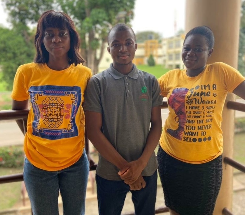 Project Topic: Geographic Mapping of Electoral Areas In Ghana’s Fourth Republic - The Case of Ashanti Region.
Team: Lucy Awuah Koramah, Martin Sabo, Abigail Antwi
Abstract: Between 1992 and 2020, Ghana held eight democratic elections that resulted in a peaceful transfer of power between political parties. Elections held are a form of democracy as it gives citizens the mandate to exercise their right through voting to elect their leaders both at the presidential and parliamentary levels. In most countries, including Ghana, peaceful elections have led to a democratic and stable environment. However there has been some trend and pattern of voting since the beginning of the fourth republic. Geographic Information Systems (GIS) has many capabilities and one of those is facilitating the creation electoral area boundaries, this helps in studying the changes in the electoral area boundaries. Electoral area boundaries since the beginning of the fourth republic has not been the same, an approach to determining the changes in the electoral area boundaries is the use of GIS. Electoral boundaries serve as a link between people in a geographic location and their representatives which allows the governed to hold their representatives accountable. The study investigated the trends of voting in the Ashanti Region of Ghana and also the electoral boundary change in the Ashanti Region across 2008, 2012 and 2020 election years. The study used secondary data which were obtained from the Department of Geography and Rural Development KNUST, some from articles, books and the online sources.
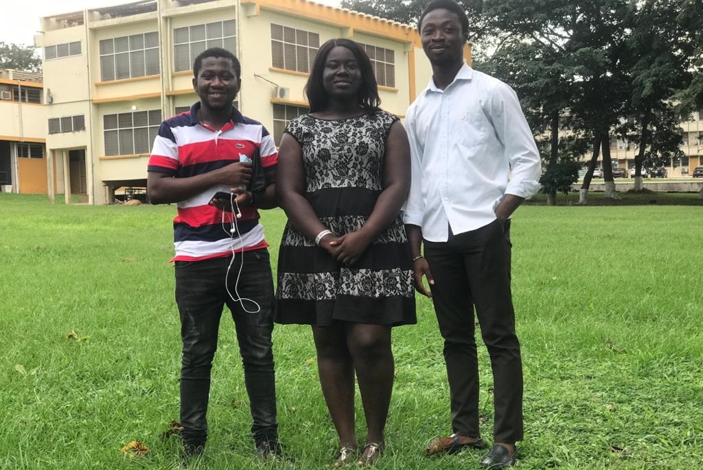 Project Topic: Geographic Mapping of Electoral Areas In Ghana’s Fourth Republic - The Case of Eastern Region.
Team: Estella Obeng, Abdul-Hakim Yakubu, Richard Appiah Kubi
Abstract: In recent times, electoral processes and elections have been held without mayhem. This has been possible due to proper electoral processes and practices such as clear and proper demarcation of electoral constituencies from one another and between regions, clear representation of the appropriate population quota and appropriate redistricting of boundaries. But underlying all these processes, there have been issues raised concerning how impartial and accurate these delimited boundaries are, how geography in conjunction with other cultural and demographic factors have effects on the outcome of both presidential and parliamentary elections in Ghana. The study compiled historical election data and extrapolated the findings obtained to inform future decisions concerning elections and their processes. Mapping of electoral areas takes into account spatial and population data as well as geographic data (point and polygon) of constituencies integrated and compiled through the use of Geographic Information Systems (GIS). The use of GIS helped created a geodatabase for electoral organizers to make informed decisions in conducting electoral businesses. The proposed framework was applied to the Eastern Region in the southern part of Ghana to help electoral commission to avoid redistribution of electoral boundaries to favour a particular political party.
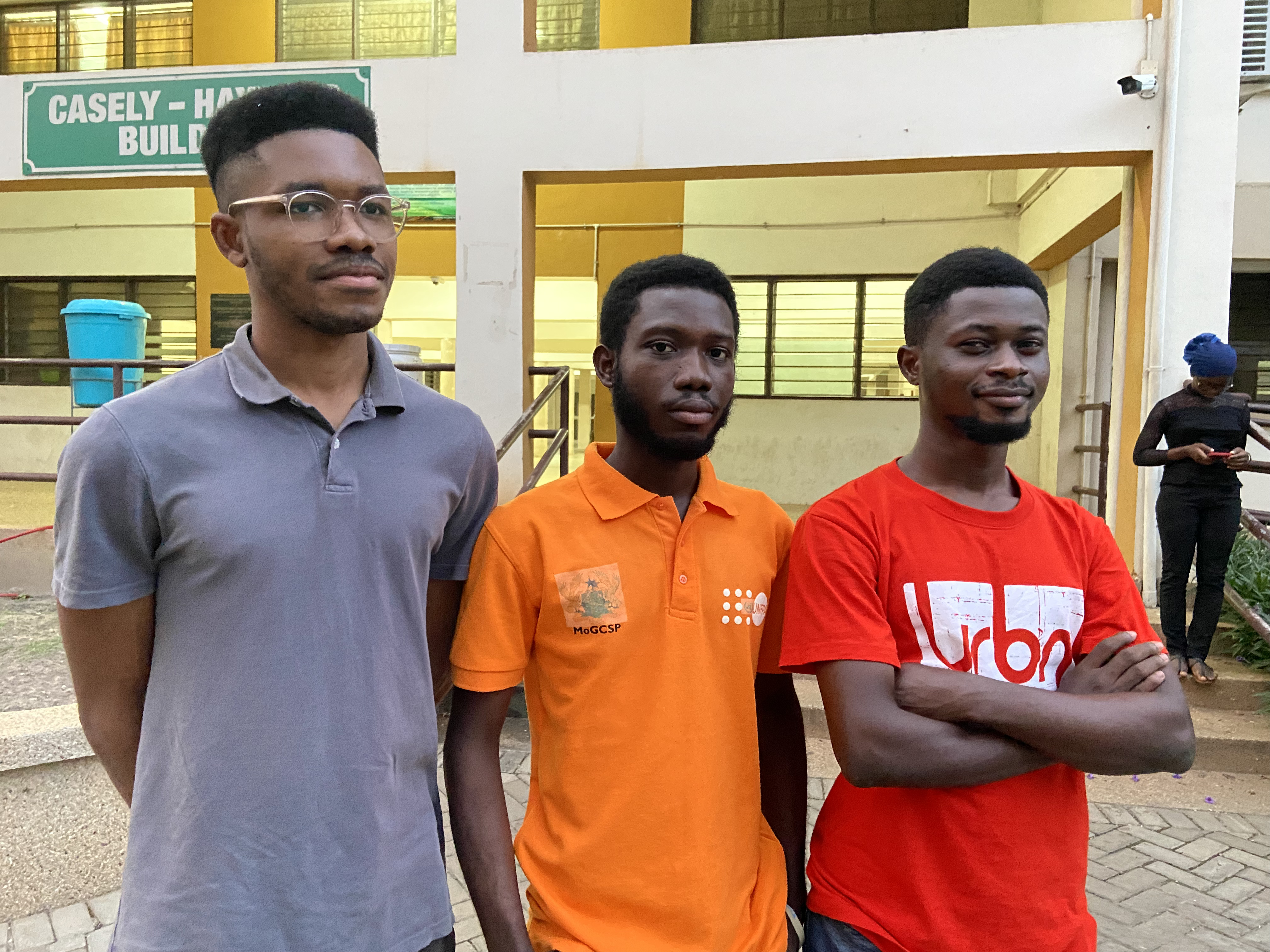 Project Topic: Characterization and Mapping of Urban Morphology In Urban Ghana – The Case Study of Central Greater Accra Region.
Team: Nyarko Michael, Adei Jason A., Homenyoa Andy
Abstract: Urban morphology describes how every city or place is unique in its way. There is the need to understand the patterns of growth and structure of urban areas. However, data on those features are usually not available, hence this research sought to map and characterize the urban morphological types. Another reason is to analyse and identify the level of accessibility from any location or point to any of these facilities namely markets, places of worship, banks, community centres, fuel stations, art centres, restaurants, schools, health facilities, and fire stations in the Central Greater Accra region. The study area comprises of Accra metropolis, La Dade Kotopon, Tema metropolis, Ashaiman municipality, and Ledzkuku/Krowor municipal in the Greater Accra region of Ghana. For this research, the study area was referred to as the Central Greater Accra region. The influx of people into these areas has led to the increase in demand for accessibility to socio-economic activities such as fire service, health, employment, recreational sites, schools, and others. The problem of accessing these social-economic opportunities might also come about as a result of the existing morphological types. We identified various communities that fall within three accessibility levels namely; highly accessible, moderately accessible, and less accessible. Furthermore, the urban morphological types identified were nineteen (19) with settled areas (highly dense, moderately dense, and low dense) having the largest area percentage of 75. The findings of this research will serve as a reference material for development experts and local authorities when planning these urban areas.
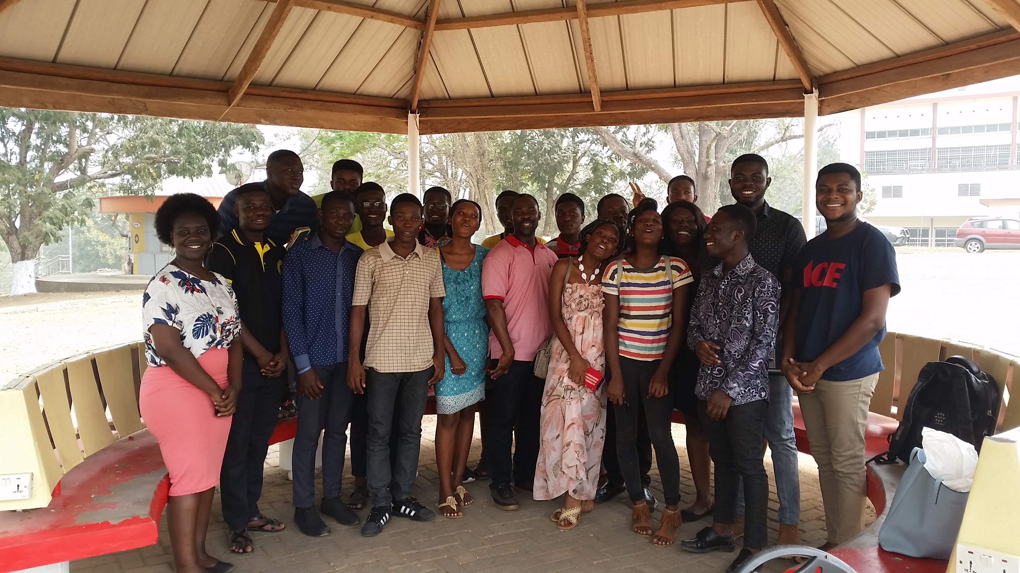 Project Topic: Interactive Campus Mapping: Development of a Comprehensive Campus Navigation System For KNUST.
Team: Isaac Marfo, Augustina Osei-Tutu, George Kwadwo Fordjour
Abstract: As the population of a country increases and the need to attain higher levels of education rises, the number of university admissions is also increasing. This calls for the expansion of the university campus and the building of new classrooms, lecture halls and residential buildings. In view of this new development, there has been the problem of navigation in both outdoor and indoor locations on campus for the university populace and also visitors. Based on this, this research used Global Positioning System (GPS) to collect the coordinates of outdoor and indoor locations. Other attribute information was derived using Open Street Map (OSM) format for both indoor and outdoor data to develop a geospatial database to support the development of a comprehensive campus navigation system for KNUST. Since we wanted high resolution raster data, satellite image in OSM was retrieved and digitized to get data on footpaths and roads. The Quantum GIS software was used to develop the geospatial database as well as using the eVis plugin in Quantum GIS to hotlink mages of the features to the points for easy identification. Quantitative approach was used in a survey to determine the opinions of the university populace on the need for a campus navigation system. From the survey, the study found that the most significant functionalities of the campus map are to find lecture rooms and finding point of interest (point of interest such as toilet, administration offices, café, library etc.). Again, the reliability and labelling of the campus map was found to be the features with the highest degree of importance based on significant features on campus map. Concerning the locational needs, the study discovered that the majority of the students or users classify routing and finding lecture rooms as the most important locational needs for using campus map. The research also revealed that majority that is 85% use campus learning spaces whiles 15% do not use campus learning space.
 Project Topic: Development of a GIS Database for Crime Mapping: a Case Study in the Oforikrom Municipality.
Team: Mensah Augustine Ohene, Anane Adabor Lois, Baah Kofi De-Graft
Abstract: This project examines the possibility of using GIS for crime mapping for the KNUST police service. In recent times, criminality has been on the increase in and around KNUST with criminals using new and more refined ways to commit crime; resulting in fear and agitation among the citizens. The police have found it difficult to manage and control these crimes largely due to the obsolete methods and resources they employ in doing so. The purpose of this study is to see how the KNUST Police force can adopt the use of crime maps in its operations and reap the benefits. The system will help the police in the analysis of crimes which will lead to crime hotspots identification. Using QGIS software and GPS, we created maps showing the temporal and spatial variation of crime, crime hotspots, areas deficient in security, areas that require constant police patrol, time and days when citizens face the maximum crime and of what type. This research proves that GIS renders us better perspective to crime mapping, study, analysis, decision making and thus prevent crime. This suggests that moving from the traditional method of crime management to GIS demands building the required infrastructure and recruiting trained personnel.
 Project Topic: Assesment of Groundwater Vulnerability to Point and Non-Point Source Pollution. The Case Of Wewe-Oda River Watershed, Oforikrom Municipality, Kumasi.
Team: Asori Moses, Gumah Linda
Abstract: Influence of groundwater pollution on human health has remained a critical point of discussion. Socioeconomic development has been thwarted in some countries resulting from lack of quality surface and groundwater needed for domestic and agricultural purposes. Therefore the need to identify areas vulnerable to groundwater contamination is an imperative concern in almost every country. This study effectively and efficiently identified and mapped areas susceptible to groundwater pollution using the modified DRASTIC model by including land use factor. It also took into account the proximities between pollutant sources and groundwater sources (such as wells and boreholes), and relationship between flow direction and pollutant sources to determine the rate of pollutant transportation on the land surface. The outcome provided a guide for policy decision making process and also to help the people decide where to avoid undertaking certain activities and where to construct wells and boreholes. Ultimately, future groundwater pollution can be minimized, public health would be improved to ensure sustainable economic growth, through the implementation of the findings and recommendation of this study.
 Project Topic: Impact of Urban Morphology on Flood Occurrence in the Oforikrom Municipal, Ashanti Region, Ghana.
Team: Solomon Twum Ampofo, Isaac Abugri
Abstract: The impact of rapid urban expansion has resulted in increased demand for lands needed for both social and economic activities. This has led to the establishment of various urban structures in ecologically fragile zones such as flood plains and water ways, posing serious threats to urban dwellers especially the urban poor. The morphology of most African cities is gradually being deformed due to improper spatial planning. Also the natural urban environment is rapidly being transformed into impervious surfaces (buildings, parking lots, and other concrete structures), which aggravates urban flooding. As a result, the availability and condition of flood control structures (such as storm drains/gutters and green spaces) within the urban milieu have evolved to attract the attention of both governments and urban settlers. This study therefore sought to analyse the hydrological flood control measures (such as availability of storm drains/gutters), examine pervious/impervious surfaces and settlement configuration, and their impact on flooding in the Oforikrom Municipality using GIS. Relationship between demographic parameters (such as education and income) and flood control structures and their influence on flooding were also established. The outcome of the study is a critical reference guideline to urban planners and policy makers for formulating and implementing viable measures to solve urban flood problems through regulating human-environment interaction for sustainable development.
 Project Topic: Evaluating Spatial Accessibility of Healthcare Units in some Selected Area(s) in Greater Kumasi, Ghana.
Team: Tweneboah Kodua Eric, Okyere Adwoa Precious, Abbuah Emelia Esi.
Abstract: Healthcare denotes efforts made to maintain or restore physical, mental or emotional well-being especially by trained and licensed professionals. Health is the complete physical, mental and social well-being of individuals and not just the absence of diseases and this forms an essential part of the policies of the Ghana government. This study evaluated the spatial accessibility of healthcare units in the Greater Kumasi. The two-step catchment flow analysis (2SCFA) method was used for measurement and analysis of spatial accessibility as well as PSPP for statistical analysis. The study made use of both primary and secondary data to enable critical analyses. Secondary data was obtained from the Ghana Health Services and Department of Geography and Rural Development of the Kwame Nkrumah University of Science and Technology. Primary data was obtained through structured questionnaires of how the people access the healthcare units by means of transportation and other social factors. The study investigated whether healthcare is accessible in the study area or not. The study revealed that per all factors of accessibility to healthcare facilities, each proved limited. Mechanisms such as the NHIS needs to be improved upon to ensure that everyone gets equitable healthcare. Stakeholders in the health fraternity are entreated to come on board to strengthen the accessibility for a better health assurance.
 Project Topic: Assessment of informal Waste Collection through the use of Tricycle (Aboboyaa) in Ayeduase Commnunity, Kumasi.
Team: Koomson Adoma Christian, Joseph Adjaloko.
Abstract: Waste collection and transportation is considered a key factor in Municipal Solid Waste (MSW) management. The introduction of tricycle (Aboboya) has helped complement the existing service offered by the Zoomlion Company LTD in the Ayeduase community. This research was designed to focus on MSW management strategies in Ayeduase, seeking to assess the service structure and performance of tricycle usage, where their operations involved the collection and transportation of waste even though their operations are recognized as informal. The research applied the methodology through structured questionnaires and interviews. Data was gathered from a convenience sample of 40 tricycle operators and 100 household respondents which was analysed quantitatively and qualitatively. The questionnaire and interviews reviewed a general overview of the service structure of the tricycle operations; by knowing the people involved in terms of ownership and how they transact their business between the operators and the people that are being served with the tricycle, and also their origin to the final waste disposal point. The open questionnaires demonstrated the relationship in the level of education and how households store their waste before disposal and also a close relationship in the income levels of the tricycle operators. Most of the indigenous people in the Ayeduase community rated the collection of waste after the introduction of the tricycle as good and satisfactory because their activities are done on a daily routine. In conclusion, even though the tricycle role in waste collection is contributing to good sanitation in the Ayeduase community, its operation is informal and to some extent regarded as illegal. The study recommended that the Oforikrom Municipal Assembly and other stakeholders should collaborate to regulate the tricycle operations in the Ayeduase community and other parts of the country.
 Project Topic: Mapping the Geographic Service Area and Health Service Utilization for Knust Hospital.
Team: Owusu Philip, Adjei-Quarcoo Benjamin, Osafo-Kojo Boateng.
Abstract: Looking at how the population of urban areas are increasing rapidly, there is the need to consider the utilization of an existing health facility and determine the population coverage of the current health facility use. This study seeks to analyse the impact of accessibility on healthcare utilization at the KNUST hospital and to analyse the proportion of the population that is served by the KNUST hospital. Cross-sectional design was adopted to determine the proportion of the population that is served by KNUST hospital and the research employed both quantitative and qualitative (mixed methods) methods of study. Primary data was collected from four (4) communities (Ayigya, Bomso, Kentinkrono and Kotei) were purposively selected. The choice of the selected communities was based on how close they are to the facility. The data from the questionnaire was analysed quantitatively using descriptive statistics in PSPP, an alternative form of IBM Statistical Package for Social Science (SPSS). Geographic Information System (GIS) tool was also used to compile, integrate and homogenize the various data used. This method is cost effective and gave a realistic estimation of the case study area. QGIS was used as an essential tool for analysing the primary data. Origin Destination (OD) matrix was created using the population of the elected communities as origin and KNUST hospital as destination and the results showed the travel cost determined between where the respondents are located and the location of the health facility.
 Project Topic: Paratransit Services: Reliability and Accessibility in Kumasi.
Team: Jacob Ulzen, Vera Nana Akua Agyemang,Gideon Adu Atta.
Abstract: Mini-Bus "Trotro" Paratransit system service has continued their dominant function as a mode of public passenger transportation in several developing countries due to their unscheduled services satisfying people who don't have access to private transportation or who in any case could utilize open transportation so as to travel. This study examines the accessibility and reliability of the paratransit service routes distribution, it's organization and operation in Kumasi, and analyze the importance of paratransit services and its impact on the socio-economic development of the country. Kumasi is selected as the study case based on factors including its geographical location as the center of major transportation routes facilitating movement to any destination in Ghana within a day. The results of the study showed that in general the paratransit services in the study locations within Kumasi metropolis are reliable and accessible. The study further revealed that most of the drivers are familiar with the routes they use. Information provided by the GPRTU agents and drivers as mini bus ("trotro") providers inform decisions about how paratransit services are provided in Kumasi. These have important implications on transportation planning and policy decisions within the study location.
 Project Topic: Evaluating the Spatial Distribution of Pharmacies and their involvement in Primary Health Care in Ayeduase and Kotei, Oforikrom Municipality of Ghana.
Team: Slonimpa Solomon Mantey, Nimo-Owusu Derrick.
Abstract: This project determined pharmacy's participation in primary care to validate competencies for effective pharmacy performance in their role and thus to document the perceived contribution to pharmacists who provide general primary care services. Although pharmacies are believed to play an important role in providing information and advice on human diseases, we try to understand whether pharmacies in this area are distributed evenly, randomly, or in groups, and why. This article discusses the spatial distribution of pharmacies in Ayeduase and Kotei. The distribution of pharmacists turned out to be out of balance in relation to the distribution of the population in Ghana. This situation can seriously limit poor people's access to pharmaceutical services. Multiple regression analysis was used to determine the factors that influenced the spatial distribution of pharmacies in Ayeduase and Kotei. The number of pharmacies was considered as the dependent variable and population as the dependent variable. To test the general nature of this evidence, a number of techniques need to be carried out to assess the impact of several variables on the location of pharmacies in Ayeduase and Kotei. This project also identified the challenges and difficulties that pharmacists face when they do their main health tasks and find solutions to these problems.
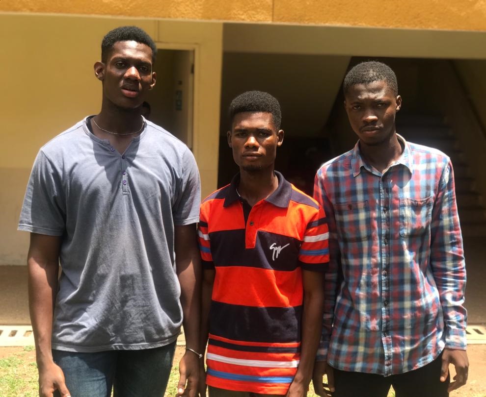 Project Topic: Quantitative Characterization of Municipal Solid Waste; The Case of Aboabo, Kumasi.
Team: QUAICOE Joseph, AGGREY Jeff, GOTTFRIED, Christian Boateng.
Abstract: One of the main problems facing urban communities in Ghana, Africa and elsewhere in the globe is solid waste management. This problem is getting worse daily in less developed countries, with studies showing that the problem is increasing with the urbanization and population increase in these countries. One major reason why Ghana is facing the challenge of improper Municipal Solid Waste management is unavailability of data on the municipal solid waste generated. Data on the composition of solid waste and how they are generated is very necessary in effective planning and management. Aboabo was used as a study area to obtain data on the rate of generating solid waste and its physical characteristics. Questionnaires were administered to get information from 153 households. The survey revealed a solid waste composition of 28.2% for food waste, paper 28.6%, plastic 29.6%, 5.6% for metals and 4.2% and 3.8% for glass and wood respectively. It was discovered that, only 17% of the households separate their waste and this is because majority of the people do not know separation is a means to waste management, that is, only 25.5% of the respondents know solid waste separation can help solve waste problems. In order to guarantee a clean atmosphere in the Aboabo community, the research proposed some mitigation steps to the issue of inappropriate waste management.
 Project Topic: Geospatial Database Development using the Open Street Map Format for 'Trotro' Road Networks in Asokore Mampong Municipality, Ghana.
Team: Antu Emmanuel Olonboaso, Owusu Hoffman, Obey Vanessa Queenie.
Abstract: Road networks are a system of interconnected roads which are designed to accommodate wheeled road going vehicles and pedestrian traffic. Roads play a major role in the development process of a country as they aid in the movement of goods, services and people from one place to another. In Ghana, the major means of travelling is by road and the most used vehicle which is in the form of a minivan is commonly called ‘Trotro’. As such this study aimed at creating a database development with the collection of GPS coordinates to suit the OSM format to map out Trotro road network in the Asokore Mampong Municipality of the Ashanti Region of Ghana. The instruments for data collection included structured interview guides and GPS coordinates which covered the 60 respondents and 30 drivers who were accidentally sampled respectively. Also 6 GPRTU agents were interviewed in-depth from the 6 Trotro and taxi hubs. The study identified that socio-demographic characteristics such as the age, gender, income level among others play a role in the choice of an individual’s mode of transport. Cross tabulation in the SPSS software was also used to examine how some variables affect each other such as how income levels affected a respondents’ preference for Trotro. It was observed that low income earners preferred Trotro as compared to the other means due to its less cost factor as against the high income earners. Some spatial analysis was also used in analysing the geospatial data such as the service area of terminals, the accessibility of passengers to the nearest terminal in their vicinity, the relationship between the stops and key landmarks just to name a few.
 Project Topic: Household Level Survey of Groundwater Use and Vulnerability in Deduako – Kodiekrom, Kumasi.
Team: Dery Sylvester Paawa, Tesien Kpalen.
Abstract: The study was conducted in the Deduako – Kodiekrom community of the Kumasi Metropolitan Assembly of Ashanti Region, Ghana. The area was chosen because of the heavy dependence of the people on groundwater for their daily activities. Groundwater is a valuable resource for the development of every nation. Its contributions to the socio-economic development of a nation cannot be undermined globally. Groundwater resources are vital in human life as the use of water by the people in Ghana likewise Deduako - Kodiekrom, for their daily activities, is dependent on groundwater. Despite the significance of groundwater to human life, it stands a higher risk of pollution due to natural and anthropogenic activities, thereby necessitating the need to adopt groundwater vulnerability assessment. In this study, the broad objective was to assess the uses and vulnerability of groundwater at the households' level in the Deduako – Kodiekrom community. A two-stage sampling method was used to select 88 households. The first stage was the selection of the community by the use of purposive non – probability sampling technique, and the second stage involved sampling for the households using a simple random sampling procedure. Questionnaires and interview schedules were used to collect data from the respondents. The study revealed that, groundwater in the community is predominantly used for domestic activities. Also the study further revealed that groundwater sources in the community are less vulnerable to pollution by considering variables such as distances from the water sources to the pollutant sources, soil texture and groundwater flow. Groundwater quality analysis is recommended to be undertaken to determine the biological, physical and chemical parameters of the water in the community and the Municipal at large.
 Project Topic: Integration of Local Addressing Information into GIS for Geocoding Purposes in Ayeduase.
Team: BENTIL, Kelvin Idun, DONKOH, Doreen Assan, MIDODZI, Ethel Makafui.
Abstract: Locating places on the earth surface is of great concern to individuals, business and governments. Predominantly, addresses of people are used to locate, navigate or situate phenomena on the earth surface. In Ghana, the address system poses a lot of challenges in locating places. This raises a lot of concern because locating places is integral to the day-to-day activities of people. It is observed that to make movement easy, it is important to have a good and effective system of locating places. The reason for this study is to integrate local addressing information using GIS for geocoding purposes. The study made use of a mixed method of both quantitative and qualitative survey where questionnaire and interview tools were used to obtain local data and conventional references frequently used by the residence. Also, GPS device on a smart phone was used to map locational data (geographic coordinates) of key landmarks in Ayeduase. This study looks at the issues, status quo and challenges in developing geocoded addresses in Ghana, taking into consideration how the local people give addresses. The study revealed that about 99% of the sampled used, employed key landmarks (Schools, Bus Stops, Church buildings, shops, trees etc.) in giving locations or directions to people. The results of this research provide a database to help the people of Ayeduase get a good system of locating places so as to ease movement for the day-to-day activities of people. Using only local information or knowledge in giving direction poses a lot of challenges. Thus, the need to integrate local information in our addressing systems for effective movement.
 Project Topic: Geospatial Database Development using the Open Street Map Format for Emergency Services in Asokore Mampong Distrct.
Team: Anita Adofo, James Martin, Phanuel Owusu Anning.
Abstract: Emergencies have been affecting many lives and properties each and every passing day with cases including road accidents, health, crime, security, fire and disaster. Emergencies pose immediate risk to health, life, properties and environment and thus, require urgent intervention. Emergency services are organizations responsible for addressing various emergencies. One key factor in emergency management is emergency response by emergency services which require essential tools and techniques. The study aimed at developing a geospatial database for emergency services to help facilitate a GIS based emergency response. The study adopted a case study design. Data collection was based on both primary and secondary sources. Simple random and snowball were used to select 50 residents whereas purposive sampling was used to select 5 emergency personnel with questionnaires being used to collect the data. Descriptive statistics techniques such as frequencies, percentages, mean were used to highlight how emergency services get to emergency locations. In analysing the data, the SPSS statistics- a software package used statistical analysis and QGIS were used. The study established that 60% of emergency services get to know the location of emergency locations through the callers or residents. There are few instances where locations are determined by key landmarks (20%) and sometimes by address (20%). The study further indicated that directions to emergency locations are always given by the callers (100%) and no route maps are used. Navigation is mainly based on the personnel’s local knowledge of places and direction from callers. The study recommended the establishment of more emergency services in areas further apart in the municipality. Also, there should be the availability of more Ambulance services since there is none in the study area.
 Project Topic: Transport Problems for Students and their Effects on Attendance to Lectures in KNUST: A Case Study of Off-Campus Students in Kotei and Ayeduase.
Team: Laryea Malik, Benjamin Nketiah, Yengbe Yenyonawo Abena Rafatu.
Abstract: This research examines transport issues for KNUST students. It focuses on the distance travelled by students from their place of residence to campus, the associated travel costs and impact on their studies. The primary data were collected from students by the use of questionnaires. The results show that students face transportation problems which directly impact their lecture attendance, and other challenges including food and security. Findings of this study show that, most students use public transport (Trotro) to travel from hostel to lectures. The school shuttle is also another means of transport used by students, but this operates only on-campus leaving those living off-campus limited to public transport. It is also observed that some students living nearby campus usually walk to and from lectures. The result shows that 72% of students surveyed walk as an alternative when they are unable to access public transport. So those who live far away from campus attend lectures very late which affects their academic performance. This study further finds that most students who use public transport arrive for lectures late when the first period has started which is due to challenges associated with poor transport services.
 Project Topic: Assessing Socioeconomic Development of Tourism in Host Communities. A Case Study of Wli, Ghana.
Team: Acheampong Bismark, Asiedu David, Morgan Macbeth Prosper, Bioh Enoch.
Abstract: Examining socioeconomic development of tourism in host communities where tourism usually occur can provide a clear understanding of how tourism can benefit local communities. Applying a micro level approach, this study questions whether the benefits of tourism development often claimed at the macro level indeed do trickle down to the grassroot level to improve the socioeconomic living condition of the local people. There are numerous international studies which investigated the local economic contribution of tourism sector, yet this has not been thoroughly explored in the context of Ghana. To fill this gap, a detailed semi-structured questionnaire and focus group discussion (FGD) guide was administered to the inhabitants that were active in Wli community in the Volta region of Ghana. The extent to which tourism development has impacted seven indicators of socioeconomic development were examined, including: employment opportunities, price of goods and services, income generating projects, entrepreneurial programs, accessibility improvement (communication and transport), household income and general quality of life. The results of the study showed that tourism development has positive impact and contribute to social and economic wellbeing of locals in Wli falls area. Notwithstanding, there are variations, with employment opportunities, job ownership, entrepreneurial training and prices of goods and services.
 Project Topic: A Survey of Municipal Solid Waste Disposal at Ayigya, Ghana.
Team: Addison Tei Isaac, Osei Boaitey Marfo, Bawa Eric Ndorbokone, Dumedah Ben Richlight, Siabi Winfred Selorm.
Abstract: Municipal Solid Waste poses a threat to public health and the environment if it is not stored, collected, and disposed of properly. Improper waste management contributes to disease causation such as malaria and diarrhoea. The perception of waste as an unwanted material has dominated poor attitudes towards its disposal. This study investigated the accessibility of domestic solid waste from generation source and collection points to landfill site in the Ayigya community. The aim of the research was to survey municipal solid waste disposal with specificities to: disposal mechanisms, methods, generation, chain/process from household to landfill sites in the study area. Descriptive cross-section and mixed methods were used to collect data, thus quantitative and qualitative. Primary data were collected through preliminary field investigation, questionnaires and face-to-face interviews. Secondary data were sourced from published journals, and government publications were used in support of the primary data. Having engaged One Hundred and Fifty (150) respondents from households, two Assemblymen and two waste management institutions, the survey revealed that: (1) the major waste types identified are food waste, plastics, cans, ashes and pieces of papers and clothes; (2) the two main modes of waste collection employed are door to door, and communal; (3) households were charged on a pay-as-you-go basis for disposing their waste. Moreover, the study established that 129 respondents representing 90% subscribed for the door to door services because it is reliable and saves time. Also, waste generated do not follow the standard processes in the management of waste. We therefore recommend that: (1) establishment of waste management department by Oforikrom sub metro to make the District Assembly more committed to waste management in the community; (2) the ASUDU Co. Ltd should device alternative strategies to solicit for fund from donors and international agencies to strengthen its waste collection and management capacity; and (3) organizing awareness and educative programs about proper waste management.
 Project Topic: A Survey of Land Cover Change in the Illegal Mining area of Obuasi, Ghana.
Team: Lawal Kafayat, Ofori Stephen, Adenu Rachel Mawuena, Kofi Bugyei Ntim.
Abstract: Changes in land cover may occur gradually but mostly occur rapidly due to anthropogenic activities like mining, built-up areas, roads and other human developments. Issues of mining is a great concern to Ghana because of how the land cover has been altered to pave way for mining activities and has adversely affected the land cover. This study considered in detail what necessitate the mining activity in Obuasi, mapping the land cover changes in Obuasi from 1986 to 2016, examining the spatiotemporal changes in relation to the land cover in Obuasi, and assess the impact of mining in relation to other drivers of the land cover change. The study focuses on Obuasi, a mining community in Ashanti region of Ghana which lies south-east of Kumasi with a population of 175,043. The area was considered due it’s fame in mining, it’s rate of mining expansion and the availability of data. The influence of anthropogenic activities such as agriculture, mining deforestation, and construction as the primary components and key drivers influence the shifting patterns of land cover. The study gathered unclassified satellite images of Obuasi with a temporal coverage of Landsat 7 collected via Earth Explorer of USGS on specified years from 1986, 1991, 2004 and 2016. The Quantum Geographic Information System (QGIS) software was used for classifying the satellite imageries. Land cover maps for various years was develop with vegetation representing green, red for settlement, yellow for mining areas and blue for water. Accuracy assessment was performed on the classified images to show how dependable or reliable the classified imageries are. The classification of 1986 resulted in vegetation representing 95.4% and settlement representing 4.6%. Vegetation in 1991 covered 91.4% and settlement covered 8.7%, the reduction in vegetation was as a result of the intense practice of mining and building of residences for miners. There were additional cover types (water, mining) in 2004, however, vegetation still covered high portion 94.2%. There was a reduction in settlement to 5.1% due to the conversion of settlement areas into mining. Water covered about 0.5%, the mining sites covered 0.2%. In 2016, vegetation reduced to 93.1% this was due to the conversion of vegetation areas to mining with settlement covering 5.4%, water covered 0.08%. Mining sites expanded to 1.4% towards the south and few areas in the north-east portion of Obuasi.
 Project Topic: A Survey of Groundwater Use in the Boadi Township, Ghana.
Team: Amponsah Adu-Boahen R., Gli Thomas, Baker Pius Julius.
Abstract: This study evaluates groundwater resource and its usage for domestic, industrial and agricultural purposes, in Boadi Township, a suburb of Kumasi in the Ashanti Region of Ghana. It focused on various water pollution sources that hinders the efficient and effective usage of groundwater. It mapped the spatial locations of existing groundwater extraction points (e.g. boreholes) and thus evaluate the general water use in the area. Examination of the proportion of groundwater use in comparison to other water sources was addressed. Both qualitative and quantitative research methods were employed to investigate households that uses groundwater for various activities. The data collected were analyzed using descriptive statistics such as frequency tools and graphs in the Statistical Package for Social Sciences (SPSS) and content analysis for the qualitative data. The results show that groundwater is largely used for domestic purposes such as drinking, bathing, and cooking by residents in the study area. The study finds groundwater to be less prone to pollution as compared to other water sources particularly tap water. Cost of drilling and maintenance of boreholes were raised by respondent as major hindrance to the effective use of groundwater. The paper recommends financial aid and public education in the drilling of public borehole and maintenance tips and strategies by the Authorities to help improve the quality and sustainability of groundwater.
 Project Topic: The Impact of Climate Change on Maize Production in Agogo in the Asante Akim North District of Ghana.
Team: Dari Ema, Kwame Antwi, Apikiya Abugbila Joseph, Atanga Ayamba Bernard.
Abstract: Maize is an essential food crop in Ghana likewise that of Asante Akim North District, as maize production constitutes 29.6% of all farmers growing crops including cash crops in the country (MoFA, 2017) and total consumption of 45% by producers, 23% for animal feed, 14% for industrial processing and 18% for trade (Rosentrater, 2016). Maize production and area planted is rising dramatically and no appropriate analytical tools have been employed to verify this, as statistics indicate from 2011 to 2014 that production and annual area planted to maize crop increased from (1,683,000Mt to 1,769,000Mt) and (992,000ha to 1,025,000ha) respectively (MoFA, 2016). Based on this empirical studies, the trend of maize production is changing. The study attempted to analyse the trend of maize production in three selected communities in the transitional ecological zone in the Ashanti region of Ghana, in the major and minor seasons of maize production from 2007 – 2016. The study revealed that, the current trend of maize production in the district is fluctuating due to the continuous invasion of maize farms by the activities of the nomadic herdsmen, rain-fed agricultural practices, continual depletion of soil fertility without replenishing through the application of organic or inorganic fertilizer and poor access to extension services lead to low yields which is a key attribute of unsustainability. Yield gap analysis for maize production is recommended to be undertaken to determine the major constraints militating against improvement in maize yield in the district.
 Project Topic: Spatial Mapping of Fall Army Worm Crop Disease in Mampong Municipal Area, Ghana.
Team: Agyei Bernard Yaw, Blay William Kwame, Sumani Issaka George.
Abstract: This study surveys the prevalence of Fall Armyworm crop disease with a focus on large hectares of farmlands in Asante Mampong of Ghana. The study investigated the origin, spreading channels of the pest and the conditions that favour its occurrence. It also explored the vulnerable crops, produced a spatial map of recent prevalence and methods for controlling the Fall armyworm crop disease in the study area. It utilized both quantitative and qualitative approaches to collect data on the possible factors contributing to the existence of the pest and measures to control it. In order to realize this aim a sample of one hundred and fifty-five (155) respondents in three selected towns made up of farmers, agronomists, agriculture extension officers, and opinion leaders were selected within the municipality to provide data through questionnaire and interviews, together with field observations. Quantitative data was collected through the administration of questionnaires with farmers, local individuals among others and the use of Statistical Package for Social Sciences was used to analyze these data; interviews were conducted with agricultural extension officers, government officials and opinion leaders and the data obtained was analyzed using qualitative method. Field observations were also conducted on affected farms in the study area to enhance providing evidence maps for visual descriptions. This project will aid government’s effort in controlling the FAW crop disease through the use of recommended chemicals and practices. It is to help provide prospective researchers guiding information on ofactors that contribute to the spread of the Fall armyworm and similar infestations in future. Professionals and interested persons can gather information about the distribution of the disease in other to find patterns of the transmission and possible remedy to this or similar crop disease in future.
 Project Topic: page under ongoing construction.
Team:
Abstract:
 Project Topic: page under ongoing construction.
Team:
Abstract: